Map of Cueva de las Manos and Surroundings: Trails, Distances and How to Explore the Canyon
Are you planning your itinerary through northwestern Santa Cruz and want to understand how to get around the area?
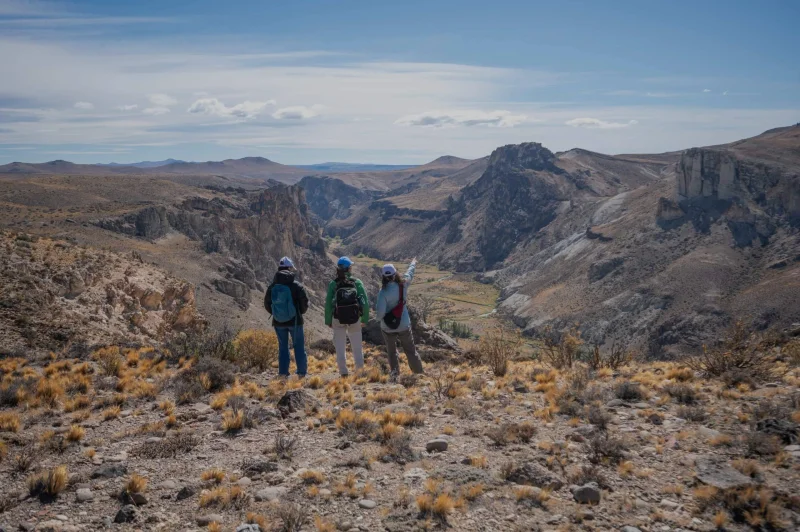
Getting oriented on the steppe and its canyons is simpler than it seems, but it requires having the right information at hand. If we look at the map of Cueva de las Manos and its surroundings, we discover a territory interconnected by more than 50 kilometers of self-guided trails. This trail network links the different Parque Patagonia portals with the famous rock-art site, letting you plan hikes to suit your pace.
Here we explain how to read the area's official cartography, with distances, real times and the difficulty of each circuit so you can plan your trekking days.
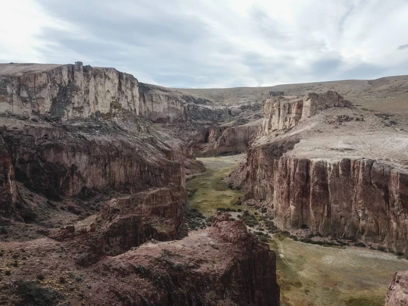
Vehicle access and location on the map
On the regional map, the Cueva de las Manos sector sits over the Río Pinturas basin, between the towns of Perito Moreno (56 km north via RN 40) and Bajo Caracoles (74 km south). There are two main vehicle access points:
- North Access (Portal Cañadón Pinturas): Entered directly off National Route 40. It's the central services hub with the Information Center, the Planetarium, the lodge and the campgrounds. The trails descending into the canyon start here.
- South Access (via Provincial Route 97): Taken from RN 40 around Portal Cañadón Caracoles or Bajo Caracoles. It's 47 km of gravel that take you straight to the upper parking lot of the archaeological site.
Cueva de las Manos map:
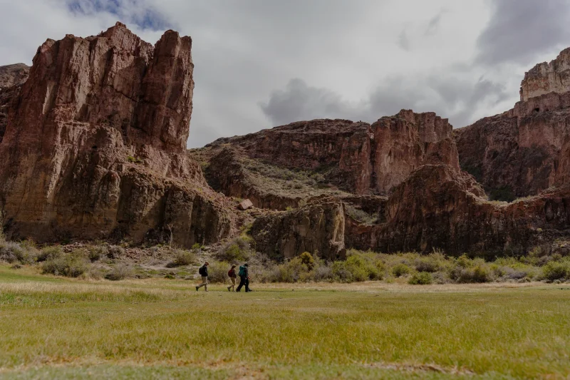
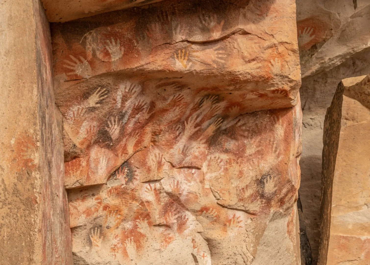
The Cueva de las Manos Trail: crossing the canyon on foot
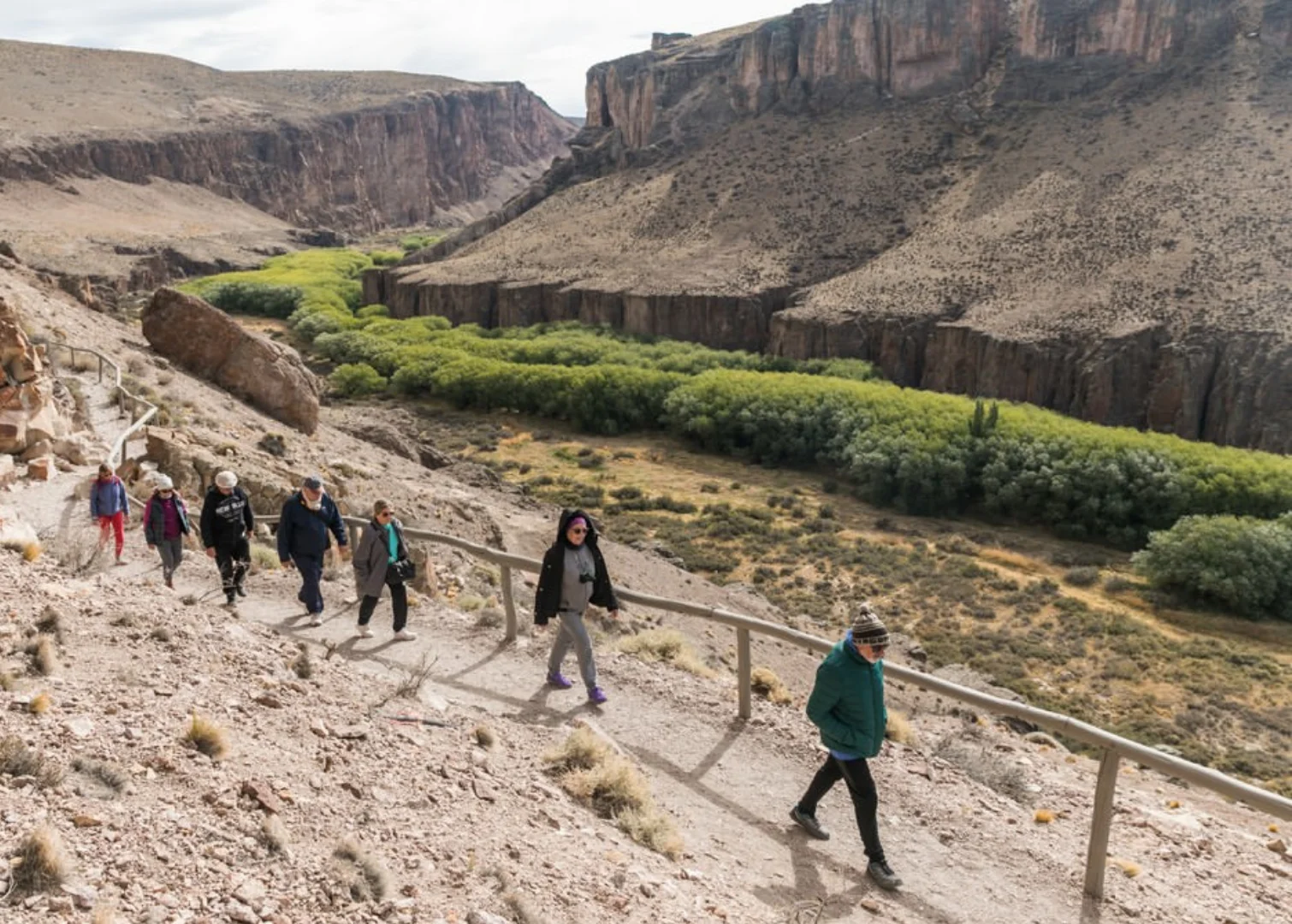
Without a doubt, the star of the map for trekking lovers is the hike that connects Portal Pinturas with the rock paintings by crossing the river. It's an incredible experience combining hiking, colossal landscapes and archaeology. The route is split into two continuous stretches:
- Bajada de los Toldos Trail:
Starts near the Interpretation Center and descends the canyon's east wall to the riverbank. It's 1.3 km one way, takes about 45 minutes and is of medium difficulty. At the bottom you cross the river over a wooden footbridge.
- Cueva de las Manos Trail:
On the other side of the bridge the climb up the opposite wall begins. It's 1 km one way, about 45 minutes of medium/high difficulty ascent until the Visitor Center.
Traveler tip: Allow 1.5 hours of hiking each way (2.3 km). Adding the guided walkway tour and the return, it's the perfect half-day activity.
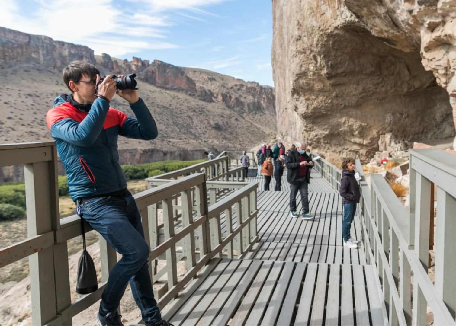
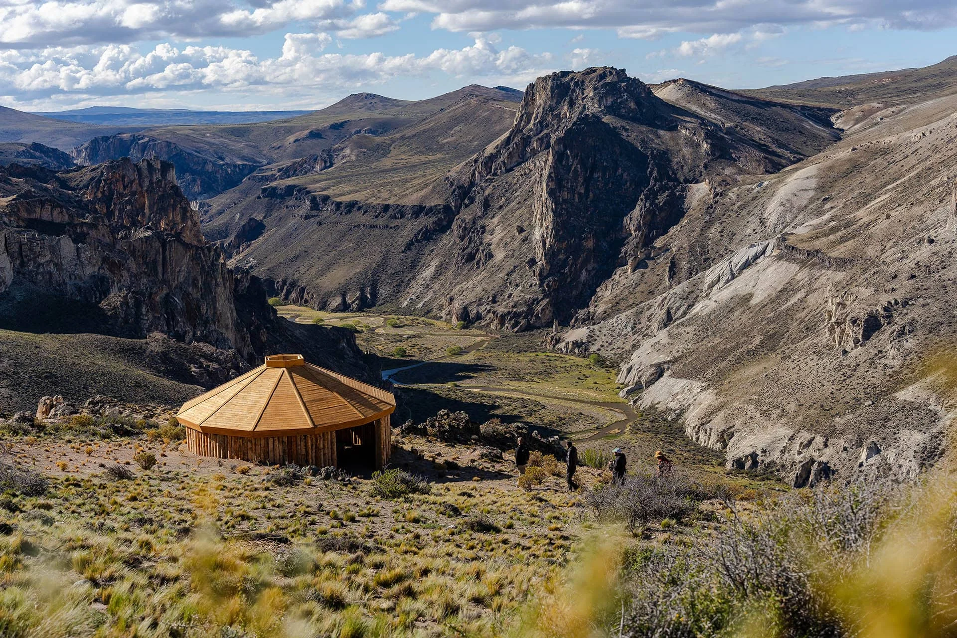
Trails around Portal Cañadón Pinturas
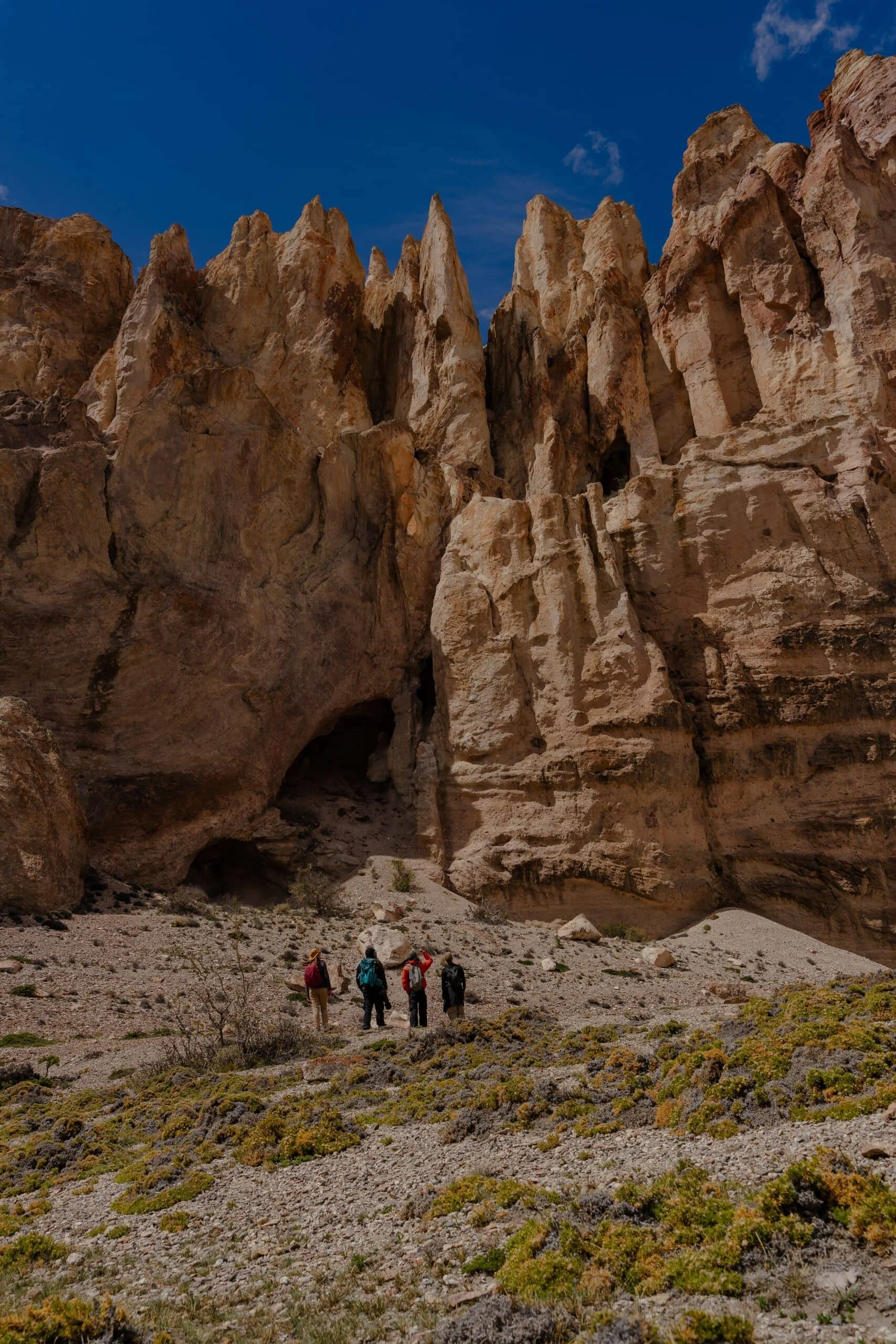
If you want to explore beyond the cave, Portal Pinturas offers a variety of options for all levels. You can choose between short, easy walks or multi-hour treks:
- Tierra de Colores:
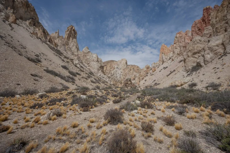
A fascinating circuit among clay hills in yellow and red tones. (3.4 km round trip | 1 hour | Low difficulty). - Observatorio de Estrellas:
A short walk ideal for the afternoon. (600 m round trip | 10 minutes | Low difficulty). - Los Balcones:
Natural panoramic lookout over the canyon. (1.7 km round trip | 20 minutes | Low difficulty). - La Vertiente:
A gentle walk beside a small stream that feeds the local vegetation. (2.8 km round trip | 40 minutes | Low difficulty). - Puesto de Piedra and Cañadón Pinturas:
Two beautiful options skirting the canyon's north rim. (3 to 4 km round trip | 1 hour | Low difficulty). - La Guanaca and Koi:
Gently ascending trails that gain height for open views of the foothills. (4.8 to 6 km round trip | 1 h 45 min | Medium difficulty). - Huella de Gradín:
A longer trek for those looking to explore the steppe in depth. (12 km round trip | 4 hours | Medium/high difficulty).
Frequently Asked Questions
You can download it as a PDF from the official Parque Patagonia website or ask for a printed version when you register at the information centers.
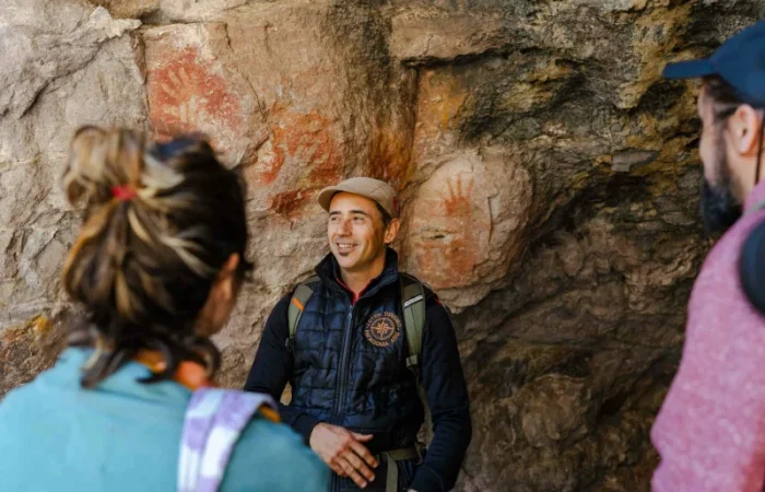
Yes, the Bajada de los Toldos and Cueva de las Manos trails are self-guided and very well marked. Only the walkway tour inside the archaeological site is done with an official guide.