How to Get to Cueva de las Manos from Perito Moreno: Step-by-Step Guide and Routes
Planning a visit to Patagonia's most important rock art sanctuary requires understanding the access routes that lead to the Río Pinturas Canyon. The town of Perito Moreno (located in northwestern Santa Cruz) is the logistical base and the closest natural starting point for this journey.
If you're organizing your itinerary and want to know exactly how to get to Cueva de las Manos, this guide details the two main access options from Perito Moreno: the direct driving route and the on-foot crossing through the park's trails.
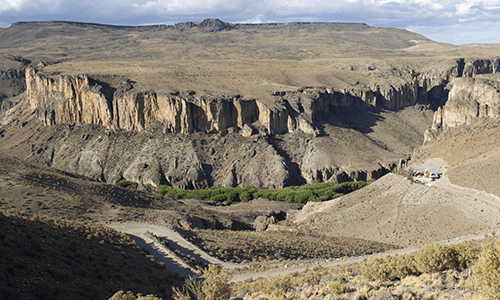
Option 1: Driving via Bajo Caracoles and Provincial Route 97 (direct access)
This is the main driving option, fully signposted and suitable for any standard two-wheel-drive car.
- Total distance: 165 km from downtown Perito Moreno.
- Estimated time: between 2 hours 45 minutes and 3 hours of driving.
- Road conditions: pavement and gravel.
Step-by-step driving route
- Paved stretch on RN 40: leave the town of Perito Moreno heading south on the legendary National Route 40 toward Bajo Caracoles. You'll cover 128 km of pavement in excellent condition.
- Turn-off at Bajo Caracoles / Portal Caracoles: when you reach the small hamlet of Bajo Caracoles (or the turn-off at km 87 on RN 40), merge onto Provincial Route 97 heading north.
- Gravel stretch: 47 km of consolidated gravel road across the plateau until you reach the Visitor Center and upper parking area of Cueva de las Manos Provincial Park.
Driving tip: on the gravel stretch, we recommend not exceeding 60 km/h, driving with low beams on, and carrying a spare tire in good condition.
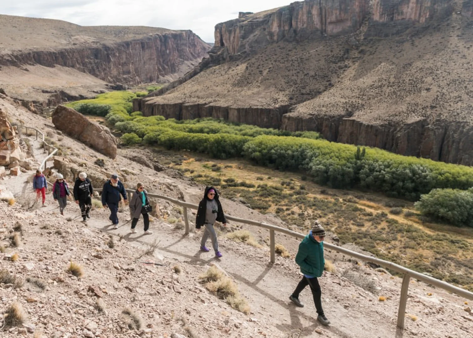
Option 2: Drive + trek across the canyon on foot
For hiking and adventure lovers, there is a fascinating alternative that combines pavement on Route 40 with a walk that descends into the depths of the canyon.
- Driving distance: 54 km - 56 km from Perito Moreno to Portal Cañadón Pinturas.
- Driving time: 40 to 45 minutes on pavement (RN 40).
- Trekking on foot: 2.3 km one way, crossing the Río Pinturas.
Step-by-step pedestrian crossing
- Entry via RN 40: from Perito Moreno, take National Route 40 south to the Portal Cañadón Pinturas access (km 54-56, 100% paved).
- Parking and registration: check in at the Information Center and continue to the La Señalada area or the Planetarium.
- Bajada de los Toldos trail: descend on foot along the canyon's eastern wall (1.3 km | 45 min | moderate difficulty). At the valley floor, cross the Río Pinturas over a wooden footbridge.
- Cueva de las Manos trail: on the other side of the bridge, climb the opposite rock face (1 km | 45 min | moderate/high difficulty) until you reach the Visitor Center and the boardwalk circuit of the rock art site.
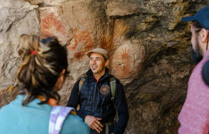
How to get there without your own vehicle?
If you're traveling by public transport, you can arrive on a long-distance bus (companies such as Marga Taqsa, Chaltén Travel or Sportman) to the Perito Moreno terminal. From there you can hire guided excursions with Sprinter/4x4 transfers from local providers, or use the Chaltén Travel services that stop on RN 40 at the entrance to Portal Pinturas.
Essential tips before you go
- Fuel: always leave Perito Moreno with a full tank. Distances on the steppe are long and Perito Moreno is the main supply hub.
- No cell signal: there is no data or mobile phone coverage on the route between Perito Moreno and Cueva de las Manos. Download offline maps before leaving.
To check current fees and guided tour schedules, see the information for the Cueva de las Manos Portal, and plan your stay by reading the camping and lodging options in Patagonia.
Frequently asked questions
The distance along the main paved route (via RN 40 and RP 97 through Bajo Caracoles) is 165 km. If you drive to Portal Pinturas and cross on foot, the driving distance drops to 54 km of pavement.
No. You can get there perfectly well in any standard two-wheel-drive car. RN 40 is paved and the 47 km of gravel on RP 97 are consolidated and maintained for all types of vehicles.